|
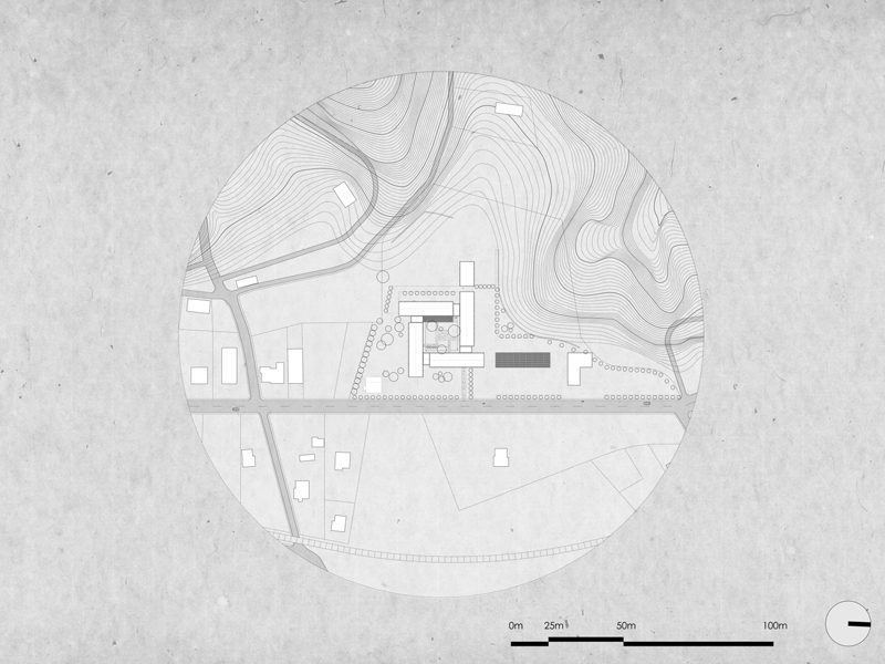 The Topographical Diagram is a complete study in which the dimensions and area of the site for which it is drawn up, the buildings that appear on this site, if it is built and how many meters it can build, are recorded, while we precisely determine the location of the field using state coordinates from the EGSA '87. The Topographical Diagram is a complete study in which the dimensions and area of the site for which it is drawn up, the buildings that appear on this site, if it is built and how many meters it can build, are recorded, while we precisely determine the location of the field using state coordinates from the EGSA '87.
A topographical diagram consists of:
- the field measurements,
- engineering research and
- the assignment of work
The topographic map is drawn up once and - if the urban planning regime does not change - it can be used for any use, such as:
- Notarization
- Issuance of building permits
- Arbitrary arrangement
- Deed of designation of the Forest Service
- Implementation acts and corrective implementation act
- Cadastre objections
- Licensing of Photovoltaic and Wind farms
- Definition of coastline and beach
- Act of actuarial
- Prostration
|
